Technology
Lima Contractors uses industry leading GPS-enabled software, turning job sites into reality. Our advanced excavation equipment provides unparalleled precision and speed, which are crucial in today's excavation projects.
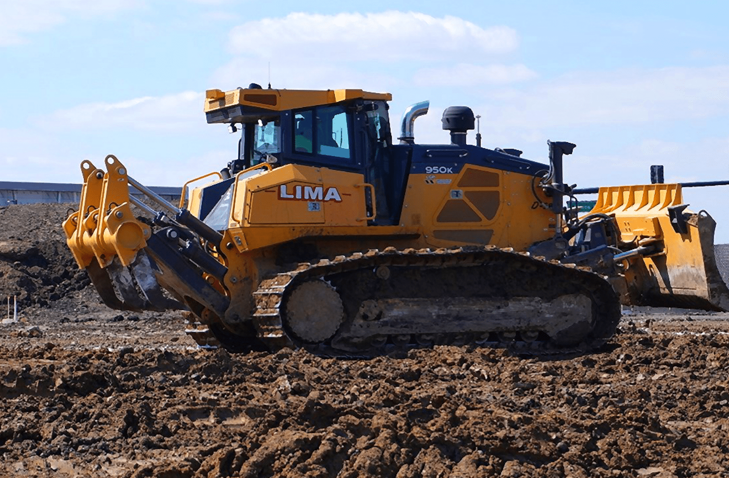
GPS-Enabled Dozers
Our dozers use a combination of Smartgrade and 3D-MC2 running off Topcon systems. This guarantees that the dozer blade is accurately aligned with the specified surface grade requirements.
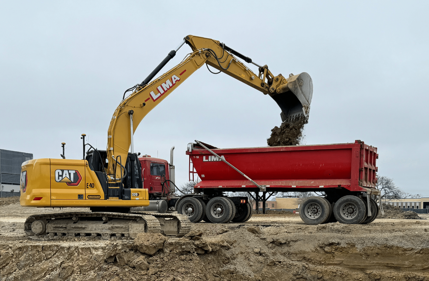
GPS-Enabled Excavators
Excavators function in a similar manner, using GPS coordinates to ensure the excavator bucket is positioned at the correct elevation. The operator can monitor an in-cab screen that shows the bucket's precise location in relation to the coordinates of the trench or footing being excavated.
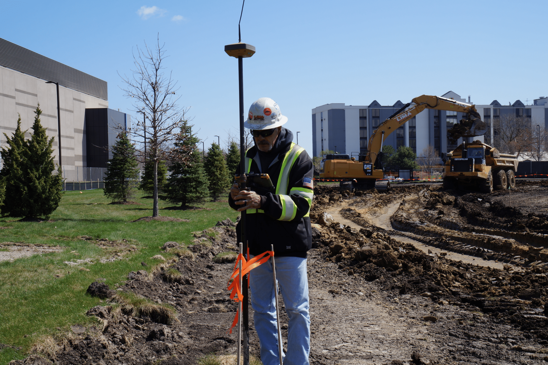
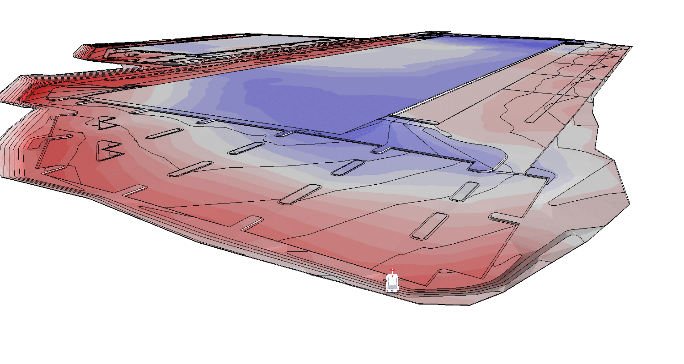
Topcon GPS Systems:
Advanced surveying instruments combine satellite coordinates with engineering and AutoCAD files, ensuring precise calculations of grades and elevations. This technology enables precise documentation of existing site conditions and facilitates the rapid implementation of design modifications.
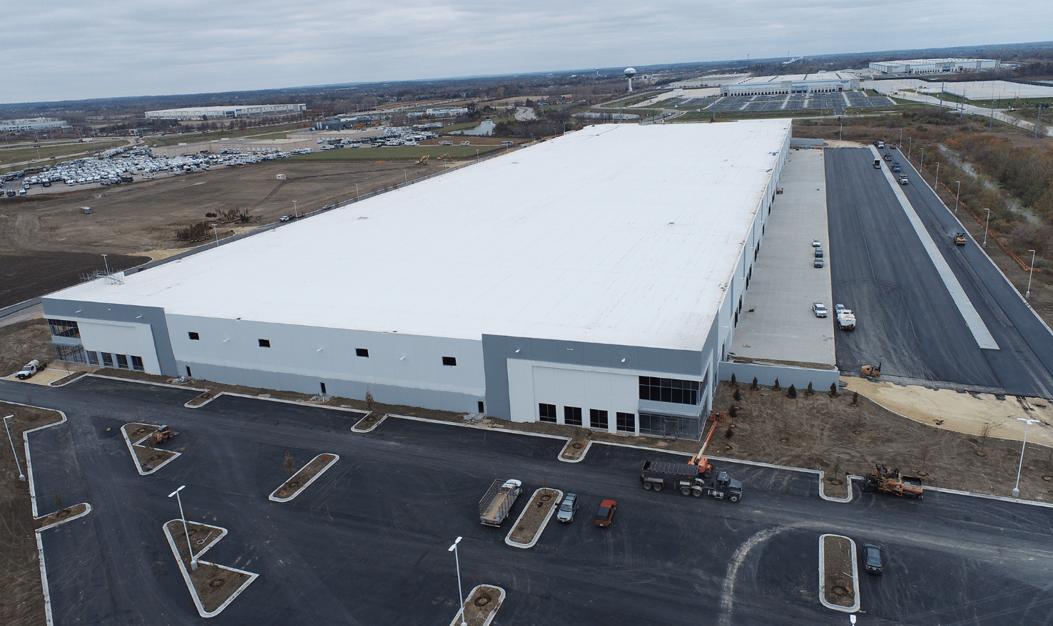
Drone Technology
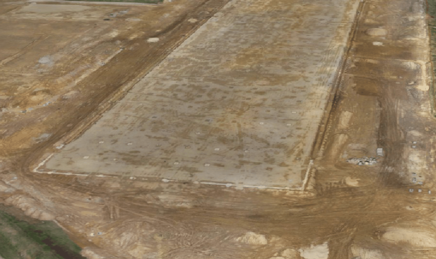
Drones have become essential for excavation planning, site surveys, inspections and topographical maps. They assist with 3D geospatial mapping and progress monitoring. Our DJI Phantom 4 RTK Drone is used to track project progression and estimate material removal. Drones assist in creating “as-built” drawings using PropellerAero software.
Before
After
Software
Specialized construction software supports many of these technologies. Agtek, Autocad, Propeller, 3D Office and Carlson, are a few programs that we use to create the digital files that intelligent equipment relies on. This allows for early stage problem solving and cost estimates.
Utilizing advanced technology maximizes the benefits for our clients. As our technology evolves over time, our unwavering commitment to delivering exceptional results—safely and reliably—continues.
Let's get to work.
Contact Us